Catalog Archive
Auction 98, Lot 500

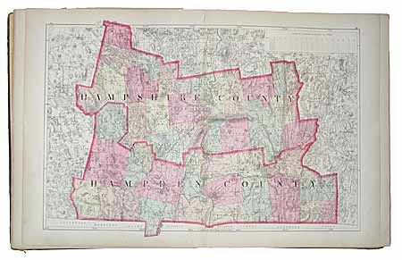
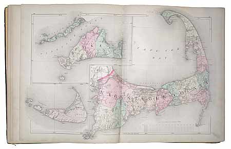
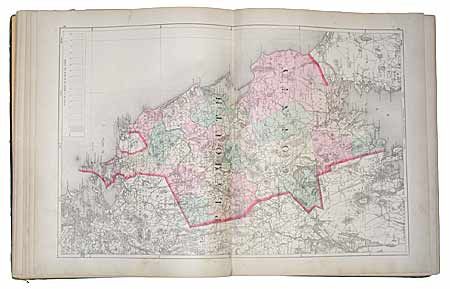
"Official Topographical Atlas of Massachusetts, from Astronomical, Trigonometrical, and Various Local Surveys", Walling & Gray

Subject: Atlas

Period: 1871 (published)

Publication: Stedman, Brown & Lyon

Color: Hand Color

Size:
13.5 x 17.2 inches
34.3 x 43.7 cm
Download High Resolution Image
(or just click on image to launch the Zoom viewer)

Illustrated title page, 49pp, table of contents, text, List of Cities, index. Fourteen maps of the counties and Boston, all double page except the Franklin County sheet. Includes maps of the United States, New England, and Massachusetts. Features the double-page Cape Cod map. A complete county atlas perfect for rebinding or as a set of maps.

References:

Condition: B

Cloth covers with embossed and gilt title. Rubbed, detached and spine missing and worn. Contents complete including endpapers, signatures loose. Most maps are very good condition: United States torn in half and foxed, five others are only good.

Estimate: $300 - $500

Sold for: $350

Closed on 3/6/2002

Archived