Catalog Archive
Auction 98, Lot 340

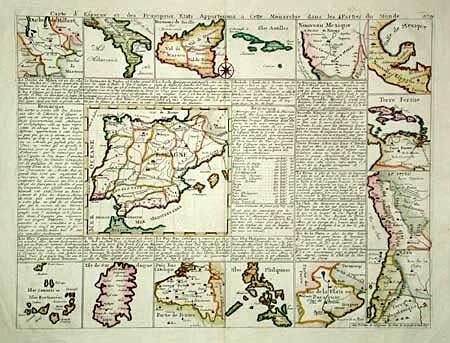
"Carte d'Espagne et des Principaux Etats Appartenans a Cette Monarchie dans les 4 Parties du Monde", Chatelain, Henry Abraham
Subject: Spain

Period: 1705 (published)

Publication: Atlas Historique

Color: Hand Color

Size:
17.2 x 12.9 inches
43.7 x 32.8 cm
Download High Resolution Image
(or just click on image to launch the Zoom viewer)

Handsome map of the Iberian Peninsula surrounded by descriptive text and tables in French. With 14 smaller maps around the outside of Spanish possessions around the world, including Philippines, Chili, Peru, Mexico, Naples, and Nouveau Mexique. The latter showing Santa Fe, Indian tribes, and locating Nova Grenade and Pey Coromedo, Xila, Hemes, and Quivira.

References: Phillips (A) 548.

Condition: A

Estimate: $250 - $300

Sold for: $375

Closed on 3/6/2002

Archived