Catalog Archive
Auction 98, Lot 322

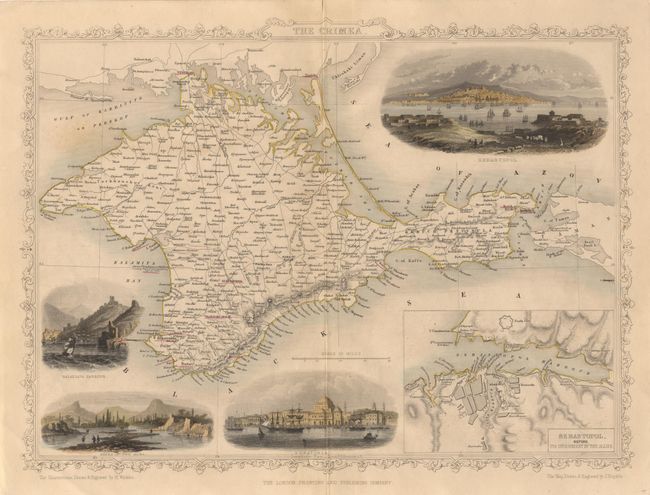
"The Crimea", Tallis, John
Subject: Ukraine

Period: 1851 (circa)

Publication: Illustrated Atlas and Modern History of the World

Color: Hand Color

Size:
13 x 9.5 inches
33 x 24.1 cm
Download High Resolution Image
(or just click on image to launch the Zoom viewer)

A lovely steel engraved and detailed map of the Crimean Peninsula, outlined in yellow with the major battle sites underlined in red. The map includes a large inset of "Sebastopol before its investment by the Allies", and four (colored) vignettes: Sebastopol, Eupatoria, Bank of the Alma, and Balaklava Harbour. All surrounded in a delicately engraved border.

References:

Condition: B

About 20 tiny worm holes mostly not visible unless held to the light and barely affecting the visual aspect of the map. Otherwise very good condition.

Estimate: $50 - $70

Sold for: $0

Closed on 3/6/2002

Archived