Catalog Archive
Auction 98, Lot 294
"A New & Correct Map of the Netherlands, or Low Countries, Drawn from the best Authorities and most approved Modern Maps, the whole being regulated by Astron.l Observations", Bowen, Emanuel
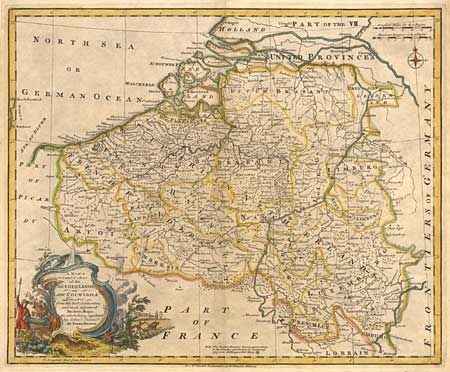
Subject: Belgium and Netherlands
Period: 1750 (circa)
Publication: Rapkin's History of England
Color: Hand Color
Size:
16.5 x 13.5 inches
41.9 x 34.3 cm
Download High Resolution Image
(or just click on image to launch the Zoom viewer)
(or just click on image to launch the Zoom viewer)