Catalog Archive
Auction 98, Lot 279

"Betts's New Map of England & Wales, Compiled from the latest Parliamentary Documents", Betts, John

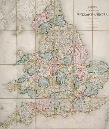
Subject: England and Wales

Period: 1848 (dated)

Publication:

Color: Hand Color

Size:
25.5 x 29.5 inches
64.8 x 74.9 cm
Download High Resolution Image
(or just click on image to launch the Zoom viewer)

Handsome folding map of the region covering a small part of the Irish coast around Belfast to a small section of the French coast, from southern section of Scotland almost to Lands End (inset of Scilly Isles off Lands End). Clear hand-colored outlines and wash of the shires; the colors are very attractive and well-balanced. Also shown are railway lines, projected railway lines and ship lines. Sectioned and linen backed, folding between embossed boards. Cover title: "Betts's Road & Railroad Map of England and Wales."

References:

Condition: B

Front cover detached and a bit of soiling on map.

Estimate: $130 - $180

Sold for: $70

Closed on 3/6/2002

Archived