Catalog Archive
Auction 98, Lot 198

"The State of Pennsylvania from the Latest Surveys", Reid, John
Subject: Pennsylvania

Period: 1796 (published)

Publication: American Atlas

Color: Black & White

Size:
17.8 x 12.7 inches
45.2 x 32.3 cm
Download High Resolution Image
(or just click on image to launch the Zoom viewer)

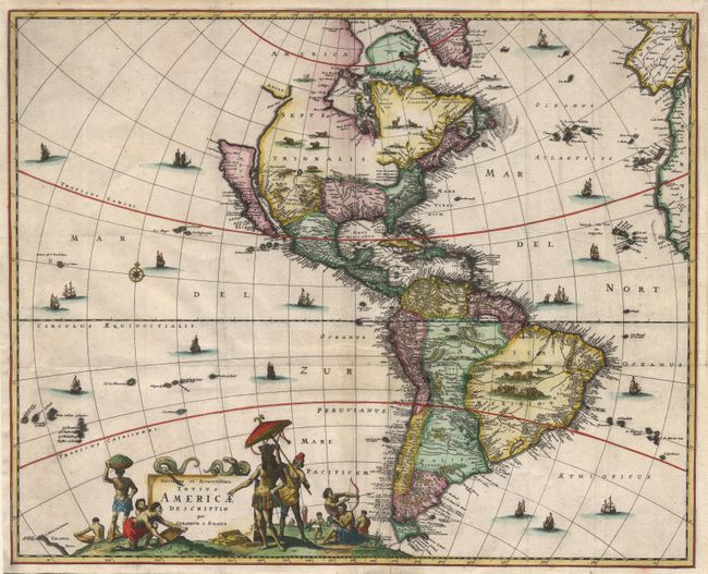
First state of this early map of Pennsylvania based on Reiding Howell's map of 1792, which was the first detailed map to depict the correct boundaries of the state. The detail includes topography, towns, donation lands, counties and townships, as well as the network of early roads.

References: Wheat & Brun #450.

Condition: A

Light toning in margins and along fold, overall very good.

Estimate: $600 - $700

Sold for: $750

Closed on 3/6/2002

Archived