Catalog Archive
Auction 98, Lot 125

"[Set of 6 Maps] Die Vereinigten Staten von Nord-Amerika in 6 Blattern", Perthes, Justus

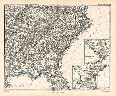
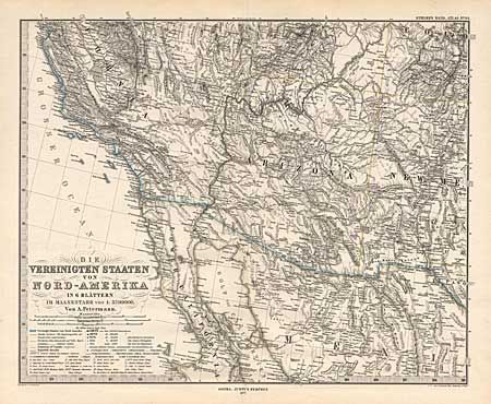
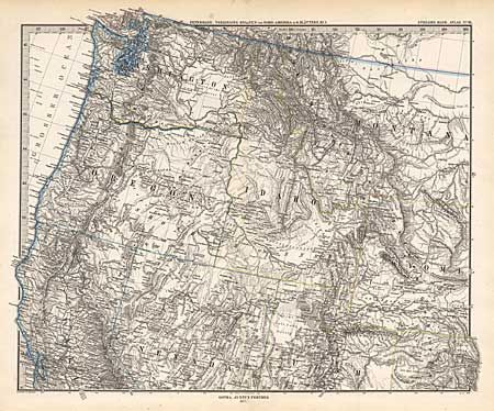
Subject: United States

Period: 1877 (dated)

Publication: Stieler's Hand-Atlas

Color: Hand Color

Size:
16 x 12.8 inches
40.6 x 32.5 cm
Download High Resolution Image
(or just click on image to launch the Zoom viewer)

Matched set of six maps covering all the United States. Filled with terrific and finely engraved detail of political boundaries, roads and railroads, watershed, topographical information, and literally thousands of towns, cities and villages. Public lands in the panhandle of Indian Territory and the large Dakota Territory are shown. Numerous insets and fine titling in the Southwest sheet. Not normally offered as a set.

References:

Condition: A

Highly detailed steel engraving with delicate hand coloring and keyboard style border.

Estimate: $250 - $300

Sold for: $230

Closed on 3/6/2002

Archived