Catalog Archive
Auction 97, Lot 624

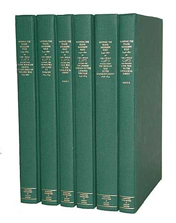
"Mapping the Transmississippi West...1540-1861", Wheat, Carl I.
Subject: Cartographic Reference

Period: 1995 (published)

Publication: The Institute of Historical Cartography

Color:

Size:
9.2 x 12.3 inches
23.4 x 31.2 cm
Download High Resolution Image
(or just click on image to launch the Zoom viewer)

Carl Wheat's monumental work on western cartography. Reprint , limited to 350 copies. 1302 maps listed and fully annotated with 376 illustrated. This being Martino's brilliant reprint in a size that is much more useful than the original. Illustrated throughout with facsimile maps, many folding and colored. Considered the definitive work detailing the mapping of the American West. RESERVE $750.

References:

Condition: A+

Six volumes, like new. In green cloth boards, gilt-lettered spine.

Estimate: $850 - $1,000

Sold for: $800

Closed on 12/5/2001

Archived