Catalog Archive
Auction 97, Lot 482
"Stanford's Map of British South Africa", Stanford, E.
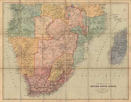
Subject: South Africa
Period: 1895 (dated)
Publication:
Color: Printed Color
Size:
26.5 x 20.8 inches
67.3 x 52.8 cm
Download High Resolution Image
(or just click on image to launch the Zoom viewer)
(or just click on image to launch the Zoom viewer)