Catalog Archive
Auction 96, Lot 600

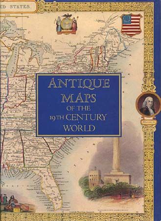
"Antique Maps of the 19th Century World", [blank]
Subject: Cartographic Reference

Period: 1989 (published)

Publication: Bracken Books

Color:

Size:
10.5 x 14 inches
26.7 x 35.6 cm
Download High Resolution Image
(or just click on image to launch the Zoom viewer)

Introduction by Jonathan Potter. This book reproduces maps and text from "The Illustrated Atlas and Modern History of the World", edited by Montgomery Martin and published by John Tallis & Co., London, circa 1850. The collection of beautifully illustrated antique maps present a vivid and fascinating portrait of the nineteenth century world. 84 maps and illustrations in full-color. Hard bound, 179 pp, dj.

References:

Condition: A+

Estimate: $60 - $80

Sold for: $55

Closed on 9/12/2001

Archived