Catalog Archive
Auction 96, Lot 310
"Agri Parisiensis Tabula partieularis, qua maxima Pars Insulae Franciae, seu Regiae celeberrimaeq Parisiorum Urbis vicina Regio in fuas Castellanias accurate divisa exhibetur", Homann, Johann Baptist
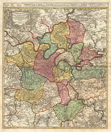
Subject: France
Period: 1720 (circa)
Publication:
Color: Hand Color
Size:
18.9 x 22.5 inches
48 x 57.2 cm
Download High Resolution Image
(or just click on image to launch the Zoom viewer)
(or just click on image to launch the Zoom viewer)