Catalog Archive
Auction 96, Lot 268

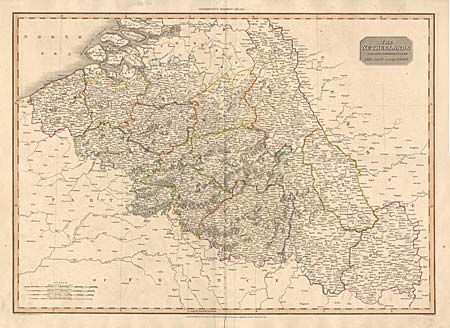
"The Netherlands and the Countries to the Left Bank of the Rhine", Pinkerton, John
Subject: Northwestern Europe

Period: 1810 (dated)

Publication: Pinkerton's Modern Atlas

Color: Hand Color

Size:
27.7 x 19.8 inches
70.4 x 50.3 cm
Download High Resolution Image
(or just click on image to launch the Zoom viewer)

Handsome, large map covering the southernmost part of present day Netherlands, (The Provinces of Zeeland, Brabant and of Limburg), as well as Belgium, Luxembourg and part of Germany west of the Rhine River. The center part of the map is densely filled with cities, villages, rivers and forests. Boundaries between the countries as we know them today are shown only in part.

References:

Condition: B

Split on fold in bottom margin and a bit of light soiling in map.

Estimate: $120 - $150

Sold for: $75

Closed on 9/12/2001

Archived