Catalog Archive
Auction 96, Lot 235

"Tabago Dresse sur des Arpentages nouveaux Par Jeffreys an 1775…", Le Rouge, George Louis
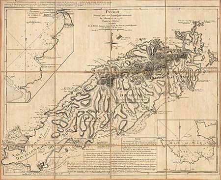
Subject: Tobago

Period: 1779 (dated)

Publication:

Color: Black & White

Size:
23.5 x 18.5 inches
59.7 x 47 cm
Download High Resolution Image
(or just click on image to launch the Zoom viewer)

A beautifully engraved map of the island of Tobago vividly portraying the mountainous terrain and numerous protective bays. The chart is a French issue of Thomas Jeffreys' map of 1775. There are inset maps of "Baye de Courland" and "Man of War Baye". Segmented on 18th century linen with original vellum tab labeled in manuscript brown ink.

References:

Condition: A

Minor soiling and close margins, as is expected for a working sea chart.

Estimate: $375 - $425

Sold for: $400

Closed on 9/12/2001

Archived