Catalog Archive
Auction 96, Lot 136
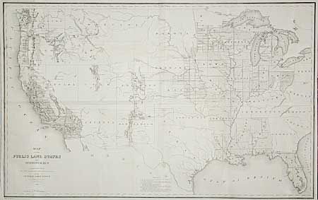
"Map of the Public Land States and Territories constructed from The Public Surveys and other official sources in the General Land Office", General Land Office

Subject: United States
Period: 1865 (dated)
Publication:
Color: Black & White
Size:
44.7 x 28 inches
113.5 x 71.1 cm
Download High Resolution Image
(or just click on image to launch the Zoom viewer)
(or just click on image to launch the Zoom viewer)

