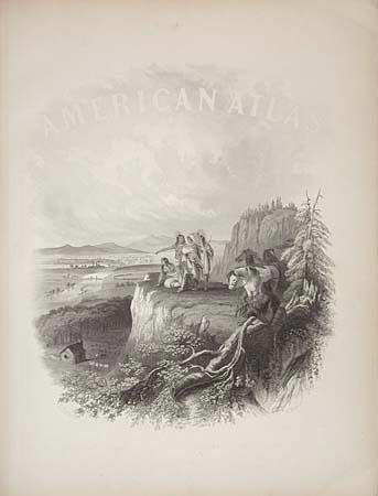
Subject: Atlas
Period: 1861 (published)
Publication:
Color: Hand Color
Size:
15 x 18.5 inches
38.1 x 47 cm
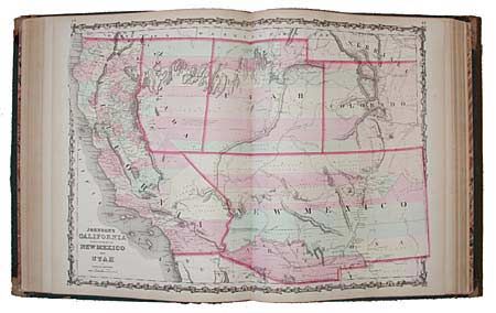
A complete large folio atlas in very nice condition. All maps are in great condition with little sign of foxing or staining, and no splits except for the map of Europe. All signatures are tight and even. The New Military Map (unnumbered and not listed) shows the U.S. divided into seven military departments. The town plan of Washington, DC is unnumbered and also not listed. The Nebraska, Dakota, Colorado & Kansas map shows Nebraska with a long panhandle. Washington is shown in the "L" shape as it wraps around Oregon. The California and Territories of New Mexico and Utah is the uncommon issue with the newly formed Nevada shown occupying part of California to the summit line of the Sierras and Arizona named in the southern portion of New Mexico Territory. Green cloth covers with leather spine and corners, and marbled endpapers. Embossed with gold titles. An exceptional atlas with contents complete and fine condition.
References:
Condition: A
Spine leather split and worn. Covers partially detached. An exceptional atlas with contents complete and fine condition.