Catalog Archive
Auction 95, Lot 284

"Carte de la Perse de l'Armenie de la Natolie & de l'Arabie", Elwe, Jan Barend

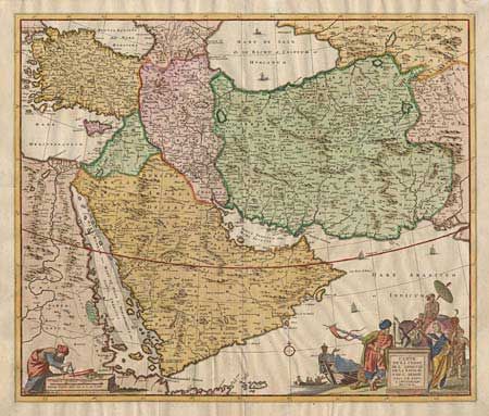
Subject: Near and Middle East

Period: 1742 (dated)

Publication:

Color: Hand Color

Size:
22.2 x 18.7 inches
56.4 x 47.5 cm
Download High Resolution Image
(or just click on image to launch the Zoom viewer)

A fine large map of the region from Turkey through Iran, featuring the Arabian peninsula prominently. The pictorial title cartouche bears testament to the strategic importance of the region as an important link between Europe and the East. The cartouche features men loading a ship, a Persian merchant, a camel herder, an Asian elephant and an exotic dancing girl. The distance scale shows a sailor using navigational instruments. The map is nicely detailed throughout.

References:

Condition: A

Tissue repair on centerfold.

Estimate: $600 - $700

Sold for: $500

Closed on 6/13/2001

Archived