Catalog Archive
Auction 95, Lot 133

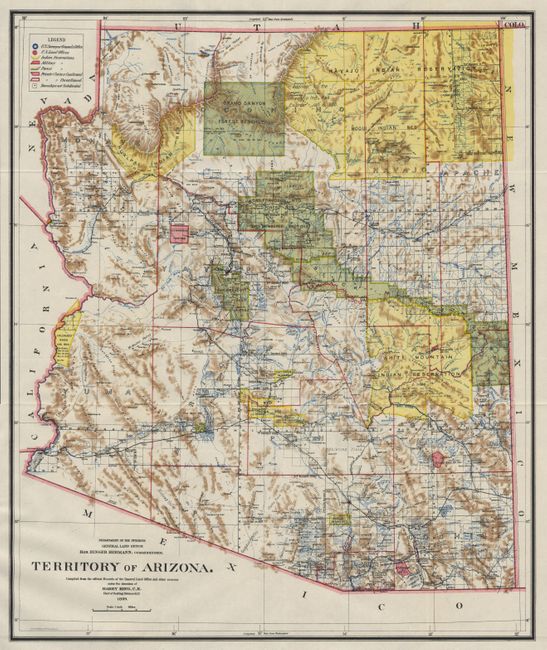
"Map of the Territory of Arizona", General Land Office
Subject: Arizona

Period: 1899 (dated)

Publication:

Color: Printed Color

Size:
16.7 x 20 inches
42.4 x 50.8 cm
Download High Resolution Image
(or just click on image to launch the Zoom viewer)

A colorful map with great detail of railroads, cities, roads, extent of surveying, etc, thirteen years before statehood. A legend upper left provides a key to color coding for topography, Indian Reservations, Military Reservations, and Forest Reserves. Several private land claims, confirmed and unconfirmed, are also shown through color coding. Much of the territory remains to be surveyed and townships subdivided. Terrific detail throughout.

References:

Condition: A+

Estimate: $100 - $125

Sold for: $110

Closed on 6/13/2001

Archived