Catalog Archive
Auction 95, Lot 125

"Milk R. to the Crossing of the Columbia R…", U.S. Railroad Surveys

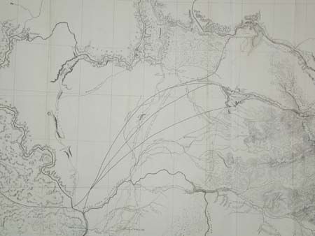
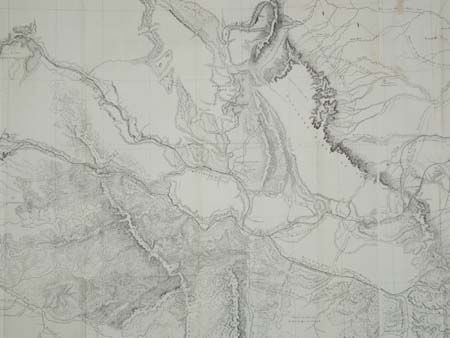
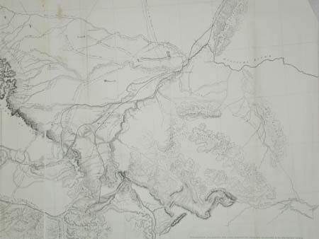
Subject: Northwestern United States

Period: 1855 (dated)

Publication: Pacific Railroad Surveys

Color: Black & White

Size:
61 x 24 inches
154.9 x 61 cm
Download High Resolution Image
(or just click on image to launch the Zoom viewer)

A large folding map published in 1860 in the reports of the Pacific Railroad Surveys as they surveyed for a northern route (47th and 49th Parallels) on an expedition led by Isaac Stevens, Governor of Washington Territory. Most of the map covers Montana, with extraordinary detail and excellent relief, naming rivers, numerous routes with dates, and interesting topographical commentary.

References: Wheat (TM) 867.

Condition: A

Folding as issued, with a two small paper repairs, still very good.

Estimate: $200 - $250

Sold for: $120

Closed on 6/13/2001

Archived