Catalog Archive
Auction 94, Lot 492

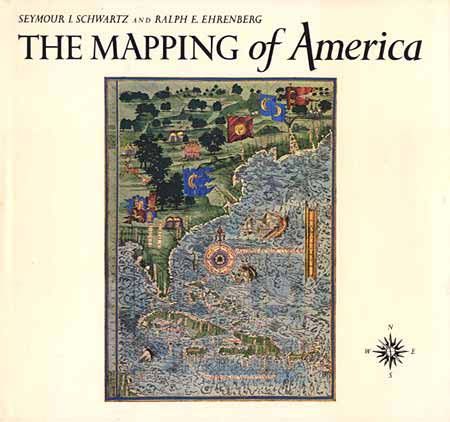
"The Mapping of America", Schwartz & Ehrenberg
Subject: Cartographic Reference

Period: 1980 (published)

Publication: Harry N. Abrams Inc., publishers

Color:

Size:
11.9 x 11 inches
30.2 x 27.9 cm
Download High Resolution Image
(or just click on image to launch the Zoom viewer)

Presents a detailed, analytic history of the mapping of North America, emphasizing the area that comprises the United States. Two major periods are covered; the first extending from 1500 to 1800 and the second from 1800 to the present, illustrated with 354 plates, 84 in full color. First edition hard bound in white cloth with gilt title on spine. 363pp, dj, index.

References:

Condition: A

Excellent condition, very minor wear of d.j.

Estimate: $250 - $300

Sold for: $240

Closed on 3/7/2001

Archived