Catalog Archive
Auction 94, Lot 480

"The Vinland Map and the Tartar Relation", Skelton, R.A.
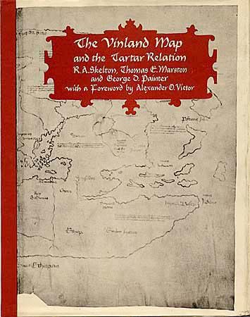
Subject: Cartographic Reference

Period: 1965 (published)

Publication:

Color:

Size:
9.5 x 11.8 inches
24.1 x 30 cm
Download High Resolution Image
(or just click on image to launch the Zoom viewer)

Description of the circumstances of the discovery of possibly the earliest known map of the Americas. The authenticity of the Vinland map is the topic of much debate within cartographic circles. Third printing, 291 pages, hard-bound with embossed and gilt title on spine, dust jacket.

References:

Condition: B

Bumped at spine, dj with some shelf wear, now protected with a Mylar sleeve.

Estimate: $30 - $40

Sold for: $25

Closed on 3/7/2001

Archived