Subject: Australia
Period: 1840-80 (circa)
Publication:
Color: Printed Color
Size:
11 x 8.4 inches
27.9 x 21.3 cm
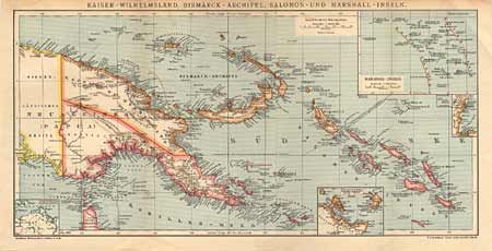
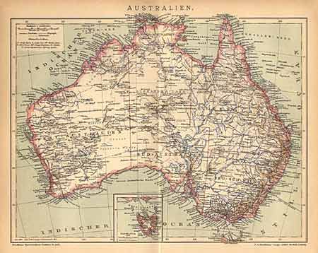
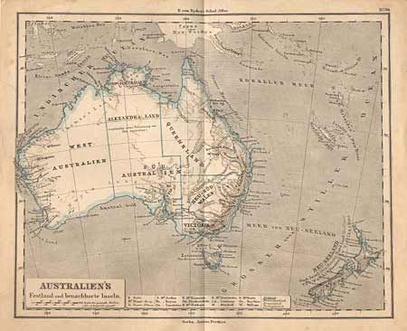
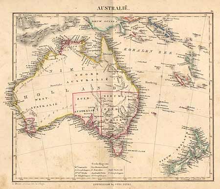
Nice set of German maps showing the settlement and development of Australia in the 19th century. 1st, by Otto Petri, shows the continent with states of South Australia and New South Wales. There is settlement also shown in the area of Perth, circa 1840, hand colored in outline. 2nd is circa 1860, by Justus Perthes, shows the addition of West Australia, Northern Territory, Alexandra-Land, Queensland, and Victoria. The map shows more topography than placenames. 3rd, by F.A. Brockhaus, circa 1880, shows the same states and territories but with considerably more detail.
References:
Condition: A
A bit of faint foxing on #1, overall very good.