Catalog Archive
Auction 94, Lot 412
"Kaiser-Wilhelmsland, Bismark-Archipel, Salomon-Und Marshall-Inseln", Brockhaus, F. A.
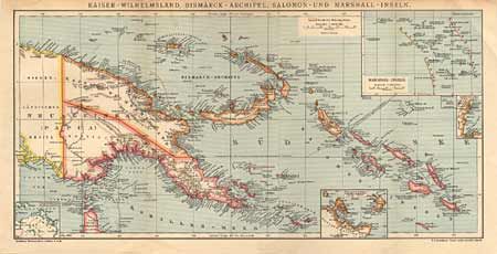
Subject: New Guinea and the Solomon Islands
Period: 1890 (circa)
Publication:
Color: Printed Color
Size:
18 x 8.7 inches
45.7 x 22.1 cm
Download High Resolution Image
(or just click on image to launch the Zoom viewer)
(or just click on image to launch the Zoom viewer)