Catalog Archive
Auction 94, Lot 273
"A New Map of the United Provinces, Comprehending Holland, Zealand, Utrecht, Gelders, Overyssel, Friesland and Groningen…", Cary, John
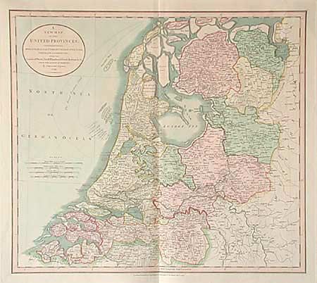
Subject: Netherlands
Period: 1799 (dated)
Publication:
Color: Hand Color
Size:
20.2 x 17.9 inches
51.3 x 45.5 cm
Download High Resolution Image
(or just click on image to launch the Zoom viewer)
(or just click on image to launch the Zoom viewer)