Catalog Archive
Auction 94, Lot 269
"A New Map of the Netherlands, or Low Countries, Showing their Principal Divisions, Cities, Towns, Rivers etc.", Wells, Edward
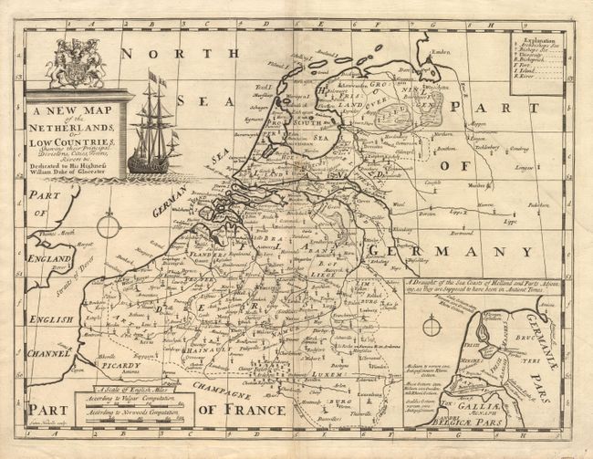
Subject: Netherlands
Period: 1704 (published)
Publication:
Color: Black & White
Size:
19 x 14.2 inches
48.3 x 36.1 cm
Download High Resolution Image
(or just click on image to launch the Zoom viewer)
(or just click on image to launch the Zoom viewer)