Catalog Archive
Auction 94, Lot 228

"Germania VI Nova Tabula", Munster, Sebastian

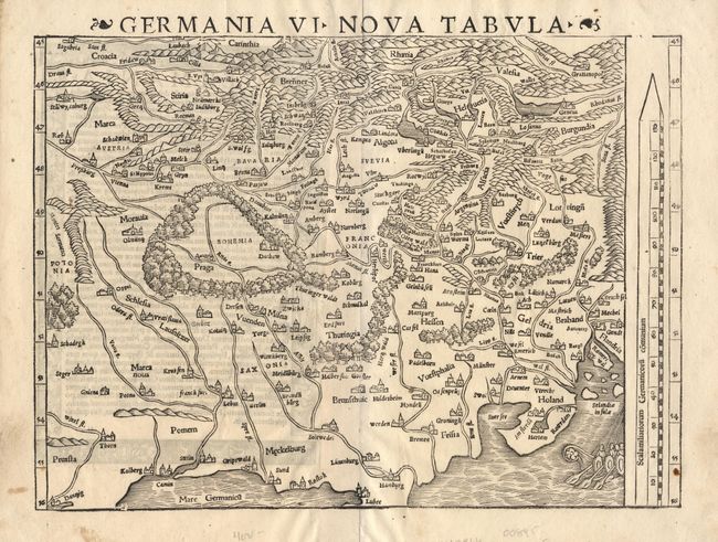
Subject: Central Europe

Period: 1545 (published)

Publication: Cosmographia Universalis

Color: Black & White

Size:
13.4 x 9.7 inches
34 x 24.6 cm
Download High Resolution Image
(or just click on image to launch the Zoom viewer)

Interesting woodblock map of the German Empire with north oriented at the bottom of the chart. Covers the region from present-day Gdansk through Ghent in the north and Croatia to Geneva in the south. Graphically depicts the mountains, rivers and forests with principal cities shown in castle form. An oared ship appears in the North Sea off the coast of Holland.

References:

Condition: A

Estimate: $275 - $325

Sold for: $220

Closed on 3/7/2001

Archived