Catalog Archive
Auction 94, Lot 197

"Martinico, done from Actual Surveys and Observations, made by English Engineers whilst the Island was in their Possession, by Thomas Jeffreys Geographer to the King.", Jefferys, Thomas
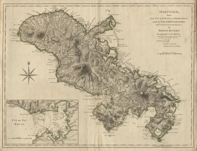
Subject: Martinique

Period: 1775 (dated)

Publication: Robert Sayer

Color: Hand Color

Size:
23.9 x 18.1 inches
60.7 x 46 cm
Download High Resolution Image
(or just click on image to launch the Zoom viewer)

Prepared by English engineers when Martinique was held by them during the French and Indian War. Crisp and strong engraving with amazing detail throughout the island. Locates numerous sugar works, villages, roads, coastal features, anchorages, etc. Large inset (9x6") gives further detail around Cul de Sac Royal showing the Fort Royal, the Town, Fond Gueltier, and more. Large compass rose. Sayer’s imprint: No. 53, in Fleet Street…20 Feby. 1775. First state without the Gallion Harbor inset added in the 1798 Laurie & Whittle edition.

References: Sellers & Van Ee #2063.

Condition: A

Slight printers crease, lower margin and corners a little rough, still map very good. Delicately colored on thick hand laid paper with two large watermarks.

Estimate: $1,200 - $1,500

Sold for: $700

Closed on 3/7/2001

Archived