Catalog Archive
Auction 94, Lot 143
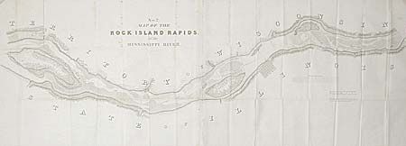
"Map No. 2 Map of the Rock Island Rapids of the Mississippi River", U.S. Government
Subject: Illinois
Period: 1837 (dated)
Publication: Sen. Doc. 139, 25th Cong., 2nd Session
Color: Black & White
Size:
62 x 18 inches
157.5 x 45.7 cm
Download High Resolution Image
(or just click on image to launch the Zoom viewer)
(or just click on image to launch the Zoom viewer)