Catalog Archive
Auction 94, Lot 106
"Map Shewing the Routes of the Principal Canals & Railways in the United States & Canada"
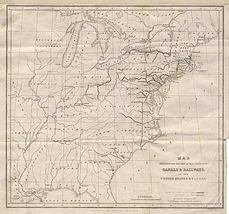
Subject: Eastern United States
Period: 1841 (published)
Publication: Notes on the United States of North America… by George Combe
Color: Black & White
Size:
10.2 x 9.5 inches
25.9 x 24.1 cm
Download High Resolution Image
(or just click on image to launch the Zoom viewer)
(or just click on image to launch the Zoom viewer)