Catalog Archive
Auction 93, Lot 79

"Nieuwe Kaart van het Westelykste Deel der Weereld, dienende tot aanwyzing van de Scheepstogten der Nederlanderen Naar Westindie…", Tirion, Isaac
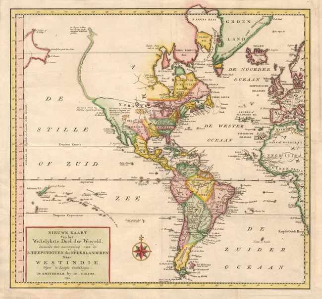
Subject: Western Hemisphere

Period: 1754 (dated)

Publication:

Color: Hand Color

Size:
14.2 x 13.2 inches
36.1 x 33.5 cm
Download High Resolution Image
(or just click on image to launch the Zoom viewer)

Attractive map of the Americas, which also includes a good bit of western Europe and Africa. A NORTHWEST PASSAGE is shown through North America, beginning at the Great Lakes and ending in a large river emptying into the Pacific at about 50 deg. Latitude. The British colonies are shown with their western borders on the Mississippi River. Simple block style title and attractive compass rose.

References:

Condition: A+

Nice, pastel coloring and crisp impression.

Estimate: $350 - $400

Sold for: $260

Closed on 12/6/2000

Archived