Catalog Archive
Auction 93, Lot 273
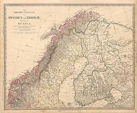
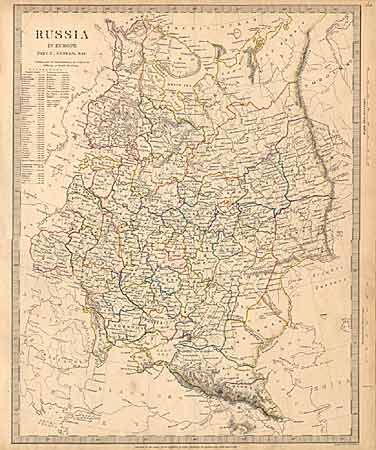
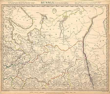
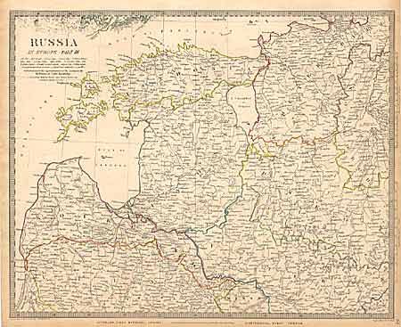
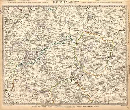
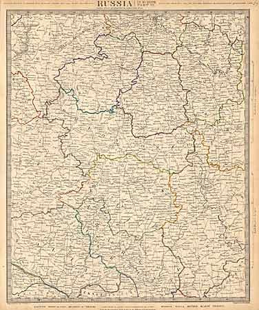
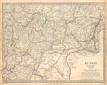
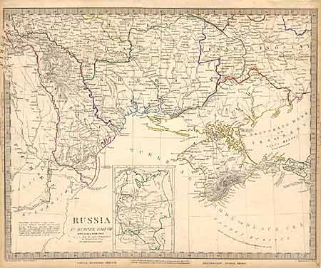
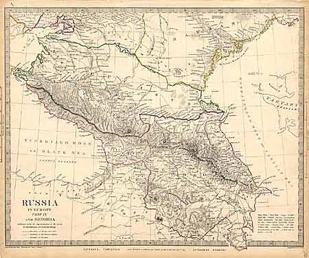
"[Set of 10 maps - Russia in Europe]", SDUK Society for the Diffusion of Useful Knowledge
Subject: Russia
Period: 1834-35 (dated)
Publication:
Color: Hand Color
Size:
15.4 x 12.5 inches
39.1 x 31.8 cm
Download High Resolution Image
(or just click on image to launch the Zoom viewer)
(or just click on image to launch the Zoom viewer)


