Catalog Archive
Auction 93, Lot 132

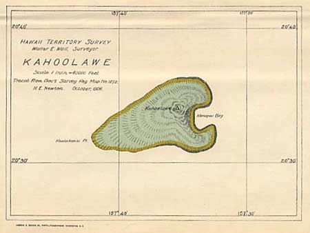
"Hawaii, Hawaiian Islands [together with] Kahoolawe", Hawaii Territorial Surveys

Subject: Hawaii

Period: 1901-06 (dated)

Publication: Hawaiian Government Survey

Color: Printed Color

Size:
See Description
Download High Resolution Image
(or just click on image to launch the Zoom viewer)

Two nice territorial maps. Large (31 x 36") folding map of the "Big Island" is very details, with villages, plantations, deserts, etc., vividly depicted. Red lines indicate elevation, with Crown lands colored yellow and Government lands colored green. Survey by F.L. Lowell and dated 1906. Size: 31 x 36". The map of the small island of Kahoolawe (6.5 x 4.7") is dated October 1906.

References:

Condition: A+

Estimate: $120 - $150

Sold for: $75

Closed on 12/6/2000

Archived