Catalog Archive
Auction 92, Lot 183

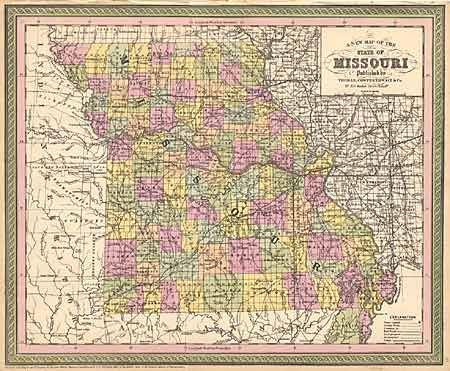
"A New Map of the State of Missouri", Thomas, Cowperthwait & Co.
Subject: Missouri

Period: 1850 (dated)

Publication: Mitchell's New Universal Atlas[1855]

Color: Hand Color

Size:
16.2 x 13.2 inches
41.1 x 33.5 cm
Download High Resolution Image
(or just click on image to launch the Zoom viewer)

A fine county map of the state showing completed surveys throughout, except in the extreme northwest part of the state. Numerous roads are shown together with the Pacific Rail Road, colored orange, from St. Louis to the capitol of Jefferson City, and under construction west to "Kanzas" (Kansas City). The southwest branch is also shown in progress from Ft. William to the state line in Newton County. Several Indian tribes are shown in the adjacent Indian Territory. Dated 1850 but published in 1855.

References:

Condition: A

A crisp dark impression with bright color.

Estimate: $110 - $130

Sold for: $50

Closed on 9/13/2000

Archived