Catalog Archive
Auction 92, Lot 102

"Partie Orientale de la Nouvelle France ou du Canada", Bellin, Jacques Nicolas
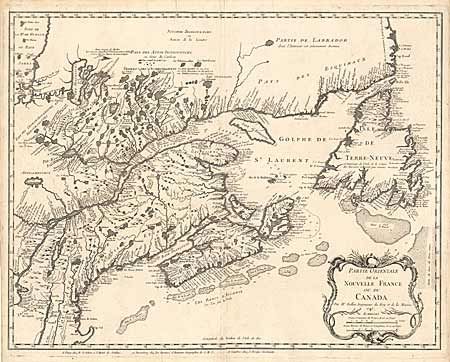
Subject: Canada

Period: 1745 (dated)

Publication: Atlas Maritime ou recueil des Cartes Reduites…

Color: Black & White

Size:
18.5 x 23.8 inches
47 x 60.5 cm
Download High Resolution Image
(or just click on image to launch the Zoom viewer)

First state of this fine map of eastern Canada, showing the mouth of the St. Lawrence, the length of the river, the Maritime provinces and French claims in the region. This detailed map is a fine example of Bellin's engraving style and the extent of French exploration in the region. It is a revision of his own map of 1744 with a decorative title cartouche. This is the definitive map of Eastern Canada and was copied by numerous cartographers in the 18th century.

References: Kershaw #687.

Condition: A

Estimate: $2,200 - $2,500

Sold for: $2,750

Closed on 9/13/2000

Archived