Catalog Archive
Auction 91, Lot 94

"Plan de la Ville de Quebec",
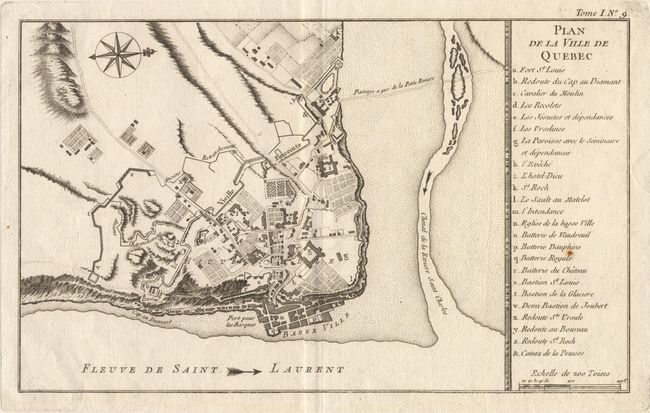
Subject: Canada

Period: 1764 (published)

Publication: Le Petit Atlas Maritime

Color: Black & White

Size:
14.5 x 9.5 inches
36.8 x 24.1 cm
Download High Resolution Image
(or just click on image to launch the Zoom viewer)

Attractive map of the city of Quebec. The plan shows the city's fortifications and a key at right identifies the major buildings, etc. A slightly larger version of Bellin's plan of 1744, which was the definitive plan of the city for most of the 18th Century. Finely engraved with a compass rose. Ref. Kersahw #1074. One tiny rust spot, still very good.

References:

Condition: A

Estimate: $250 - $350

Sold for: $240

Closed on 6/14/2000

Archived