Catalog Archive
Auction 91, Lot 322
"A General Map of the East Indies and that part of China where the Europeans have any Settlements or commonly any Trade"
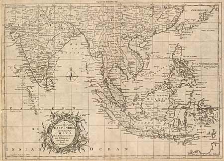
Subject: China and Southeast Asia
Period: 1780 (circa)
Publication:
Color: Black & White
Size:
16.5 x 11.7 inches
41.9 x 29.7 cm
Download High Resolution Image
(or just click on image to launch the Zoom viewer)
(or just click on image to launch the Zoom viewer)