Catalog Archive
Auction 90, Lot 152
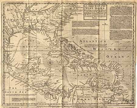
"An Accurate Map of the West Indies Exhibiting not only all the Islands posses'd by the English, French, Spaniards & Dutch, but also all the Towns and Settlements on the Continent of America Adjacent thereto"

Subject: Caribbean
Period: 1740 (published)
Publication: Gentlemen's Magazine
Color: Black & White
Size:
15 x 11.7 inches
38.1 x 29.7 cm
Download High Resolution Image
(or just click on image to launch the Zoom viewer)
(or just click on image to launch the Zoom viewer)

