Catalog Archive
Auction 88, Lot 20
"The World on Mercator's Projection…", Blackie & Fullarton
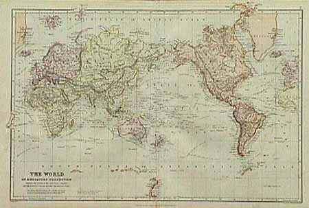
Subject: World
Period: 1860 (circa)
Publication:
Color: Printed Color
Size:
20 x 14 inches
50.8 x 35.6 cm
Download High Resolution Image
(or just click on image to launch the Zoom viewer)
(or just click on image to launch the Zoom viewer)