Catalog Archive
Auction 88, Lot 199
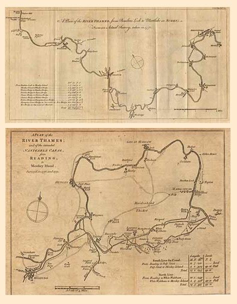
"Pair of plans of the River Thames", Anon.

Subject: England
Period: 1770-71 (dated)
Publication: Gentleman's Magazine
Color: Black & White
Size:
15 x 7.5 inches
38.1 x 19.1 cm
Download High Resolution Image
(or just click on image to launch the Zoom viewer)
(or just click on image to launch the Zoom viewer)

