Catalog Archive
Auction 88, Lot 100
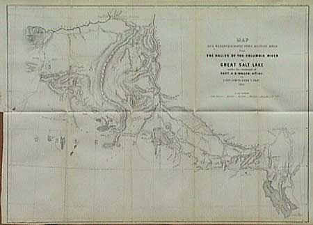
"Map of a Reconnaissance for a Military Road from The Dalles of the Columbia River to Great Salt Lake under the command of Capt. H.D. Wallen, 4th Inf. By Lieut.. Joseph Dixon, T. Eng."

Subject: Western United States
Period: 1859 (dated)
Publication: Sen. Doc #34, 36th Congress, 1st Ses.
Color: Black & White
Size:
21.7 x 16.4 inches
55.1 x 41.7 cm
Download High Resolution Image
(or just click on image to launch the Zoom viewer)
(or just click on image to launch the Zoom viewer)

