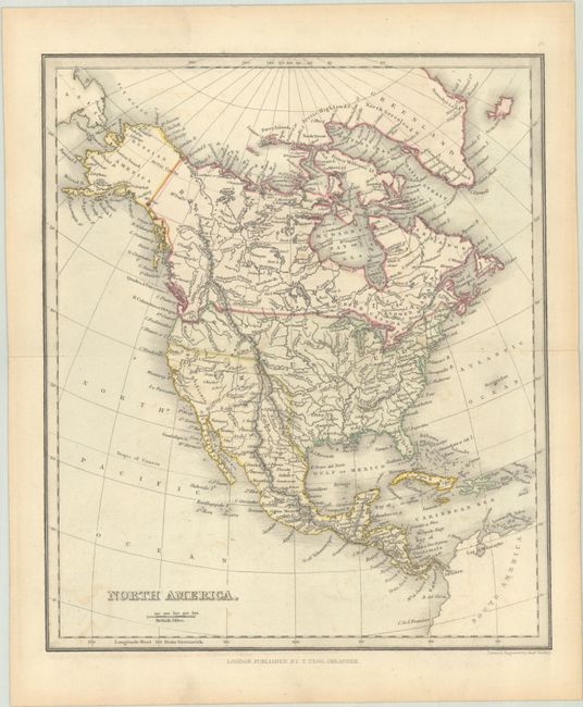
Subject: North America, Texas
Period: 1843 (circa)
Publication: Modern Atlas
Color: Hand Color
Size:
8.6 x 10.1 inches
21.8 x 25.7 cm
This small map of North America shows the United States extending to the Pacific Ocean, though the boundary with Canada follows the Columbia River reflecting British interests in the region. Despite the coloring, Texas is an independent republic based upon the engraved boundaries. The Southwest is under Mexican control, with several spurious rivers crossing over the Sierra Nevada mountain range. Published in Findlay's A Modern Atlas; Forming a Complete Compendium of Geography.
References:
Condition: A
Contemporary color on a clean sheet with a bit of offsetting.