Subject: References, California
Period: 1942 (published)
Publication:
Color: Printed Color
Size:
9.7 x 14.5 inches
24.6 x 36.8 cm
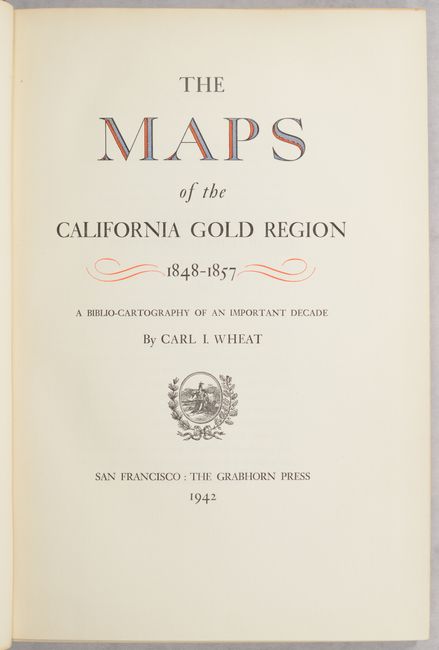
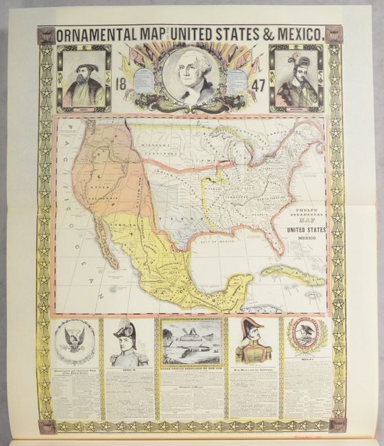
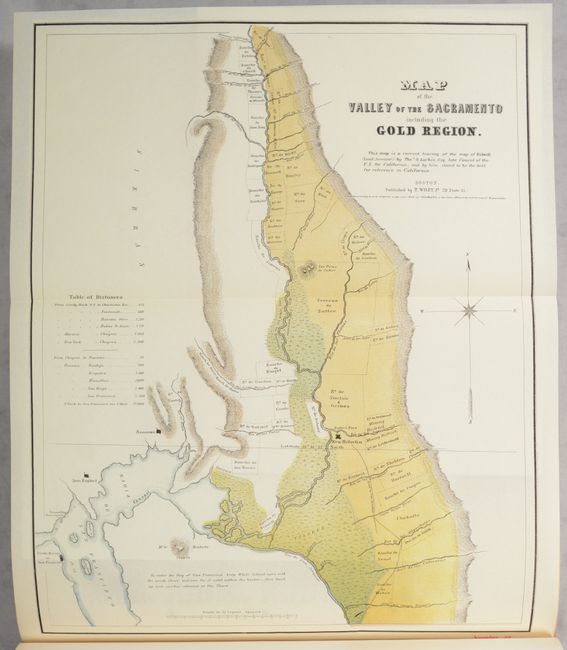
This is the hard to find first edition of Carl Wheat's indespensible volume on the California Gold Region. This carto-bibliography mostly covers maps produced between 1847-57, one of the most important decades in American history. Interspersed within the text are facsimiles of 26 important and hard-to-find maps highlighting the gold region including Phelp's Ornamental Map of the United States & Mexico, Larkin's Map of the Valley of the Sacramento Including the Gold Region, Derby's Sketch of General Riley's Route Through the Mining Districts, and many more. It is the definitive reference on California Gold Rush maps and a comprehensive study of early California cartography. 153 pages with 42-page introduction. 300 copies printed. Published by The Grabhorn Press in San Francisco. Hardbound in brown and tan cloth.
References: Howes #W-312.
Condition: B+
Contents are clean and tight with a hint of toning along the sheet edges. Binding has light shelf wear with bumped corners.