Subject: Geography Books
Period: 1822 (circa)
Publication:
Color: Hand Color
Size:
4.3 x 7.5 inches
10.9 x 19.1 cm
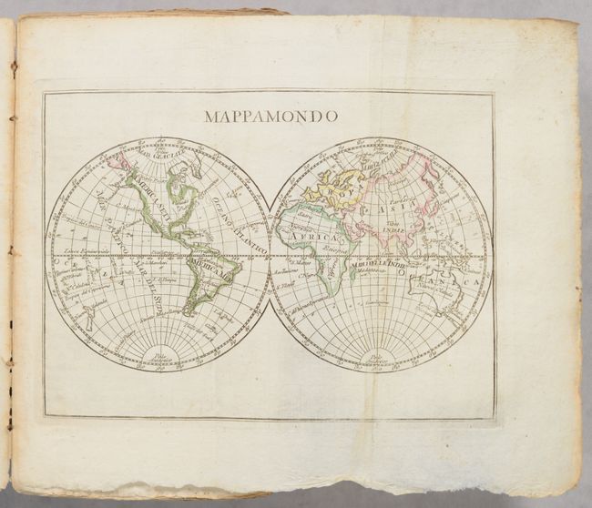
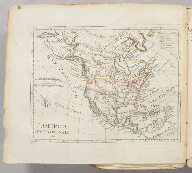
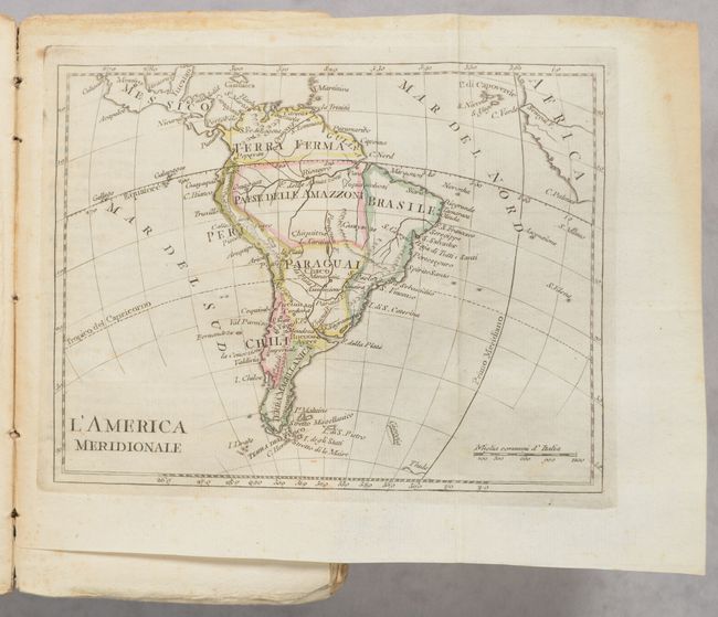
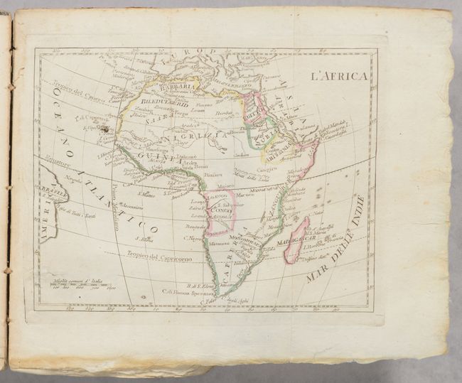
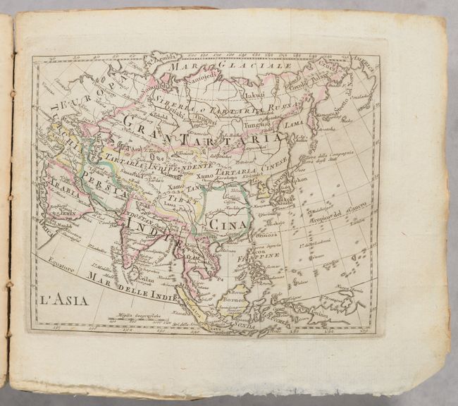
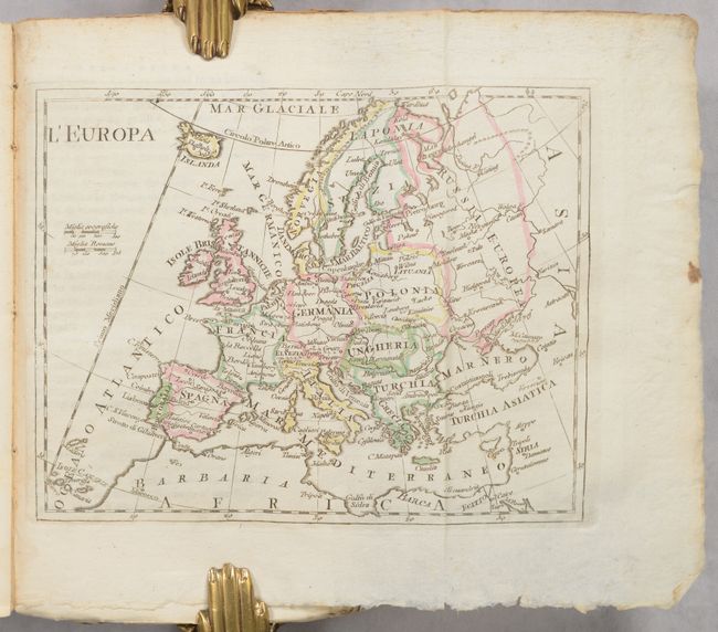
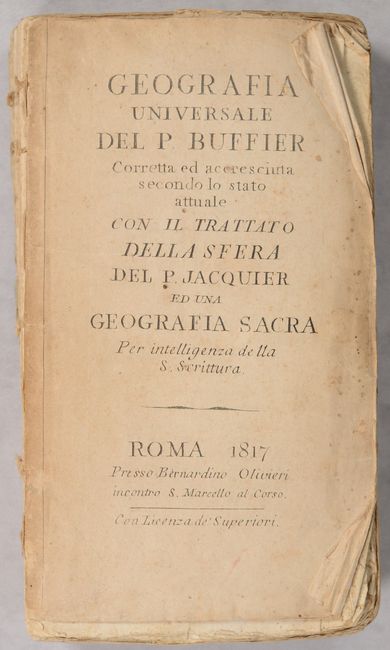
This is an Italian edition of Buffier's geography book first published in 1715. It contains 17 plates including the world, 5 continents, 10 regional maps of Europe, and an armillary sphere. The title page is dated 1817, but the map of North America is dated 1822. It shows the U.S. extending to the Pacific Ocean and the northern boundary with Canada is along the Columbia River, favoring a British viewpoint of the border. Mexico is in control of the Southwest, and Alaska is taking shape. Colonial possessions are color-coded. The volume also features an attractive double-hemisphere world map. The text is written in a unique "question and answer" format. 408 pages. Paper wrappers.
References:
Condition: B
The folding maps have contemporary outline color with some occasional light toning and minor staining mostly in the blank margins. Deckled edge text has scattered foxing. Front wrapper and spine are missing, and the signatures are very loosely held together with string. A couple pages are loose.