Subject: School Atlases
Period: 1836 (published)
Publication:
Color: Hand Color
Size:
8.1 x 10.3 inches
20.6 x 26.2 cm
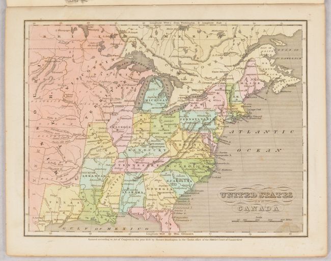
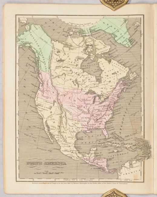
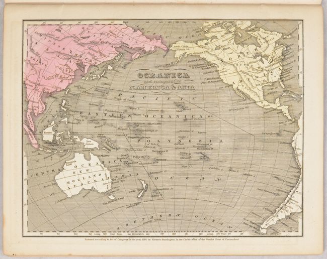
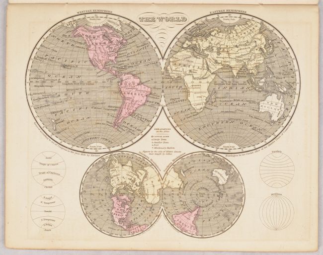
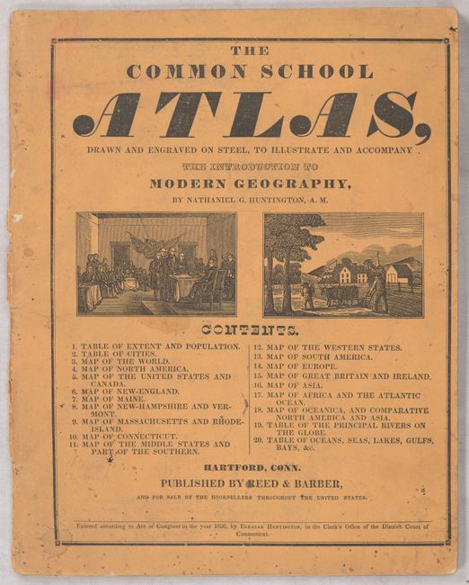
This is a nice example of this uncommon atlas that was used in conjunction with Huntington's Modern Geography. Published by Reed & Barber, it contains sixteen single-page steel engraved maps, all with contemporary hand coloring. The map of the United States features the Independent Republic of Texas. It further locates Houston, San Felipe, S. Antonio, Viesca, and more. Above Texas, the large Missouri Territory extends to Wisconsin Territory, which includes most of the northern Midwest. The map of North America presents the northwestern boundary with Canada well into present-day British Columbia, reflecting U.S. interests in the region. Tables include population, cities, principal rivers, and bodies of water. All maps with blank versos. 20 pages. The burnt umber paper covers contain the title on front and advertisements on back for other Reed & Barber publications.
References:
Condition: A
Contents are remarkably clean and bright for a school atlas, with an occasional spot of foxing or small stain here and there. Front cover is soiled and stained.