Subject: Atlases
Period: 1868 (circa)
Publication:
Color: Hand Color
Size:
14.8 x 21.4 inches
37.6 x 54.4 cm
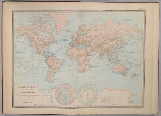
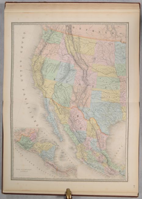
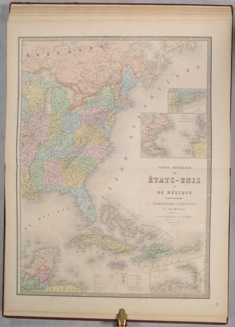
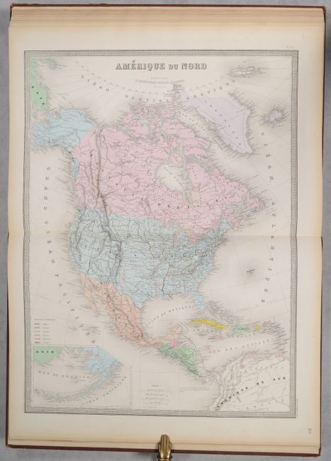
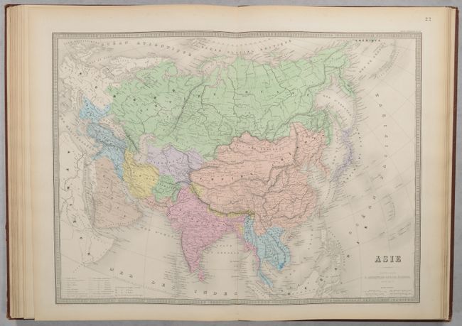
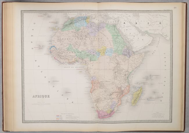
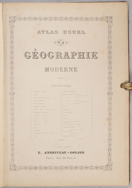
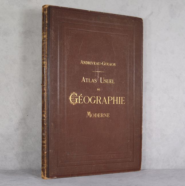
This tall modern atlas has 30 (of 32) maps, including maps of the world (1), Europe (17), Asia (4), Oceania (1), Africa (3), North America (3), and South America (1). The maps of central and southeastern France are missing. The world map focuses on modern lines of communication, identifying different telegraph lines and routes of cruise ships. The 2-sheet Carte Generale des Etats-Unis et du Mexique Comprenant l'Amerique Centrale et les Antilles is dated 1868 and depicts Dacotah Territory and Territoire Indien. The map of North America, Amerique du Nord, identifies the European possessions of the British, French, Spanish, Danish, Dutch and Swedish. The maps are dated between 1864-1869. Elephant folio. Hardbound in brown quarter leather over brown pebbled cloth boards with gilt title on front cover and spine.
References:
Condition: A
The maps are clean and bright in full contemporary color with light toning along the edges of the sheets. A few maps have short centerfold separations at bottom. The title page is lightly foxed. The covers are lightly worn with bumped corners and some scuffing. The spine is also scuffed and worn.