Subject: Atlases
Period: 1835 (published)
Publication:
Color: Hand Color
Size:
9.6 x 11.8 inches
24.4 x 30 cm
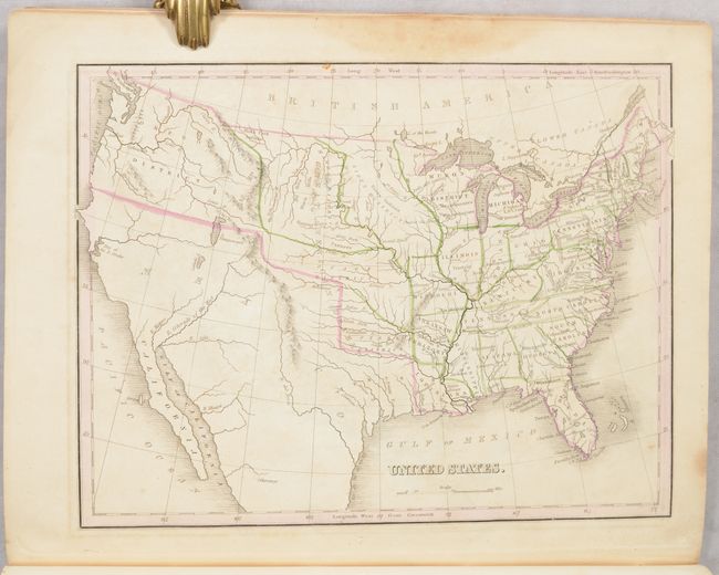
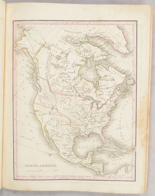
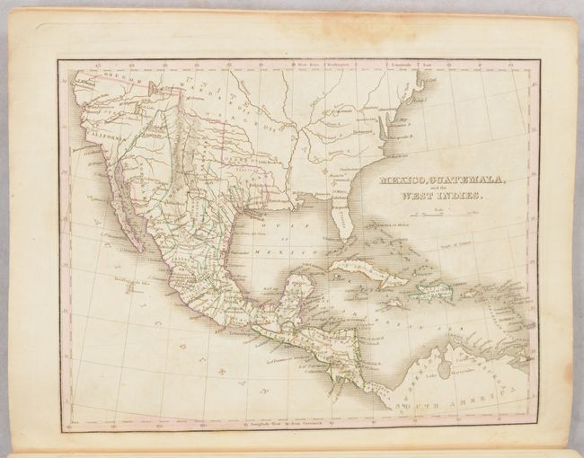
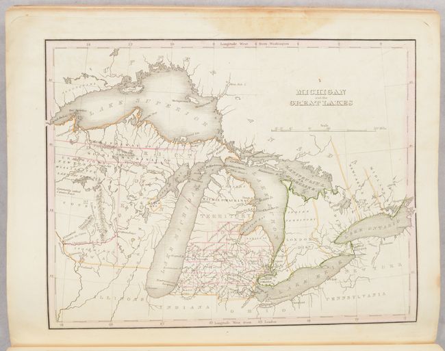
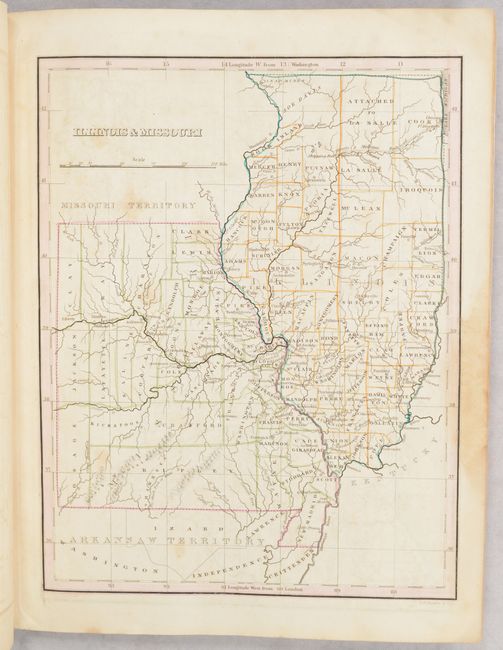
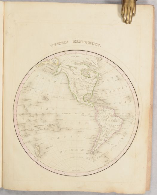
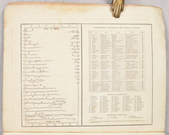
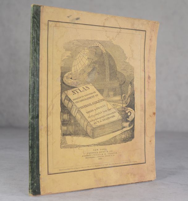
This is Bradford's scarce and condensed version of Adrian Balbi's Abrege de Geographie, a notable French geography book first published in 1833. Ristow notes that this was Bradford's first solo cartographic work, which was followed later in the same year by his well-known Comprehensive Atlas. The volume contains a total of 32 single-page maps with an emphasis on U.S. states and regions. The maps include the Americas (19 total, 16 of which are of the U.S.), Europe (4), Africa (2), Asia (2), Oceania (1), ancient world (2), and world (2). Of particular interest is the map of the United States. It shows the extent of the early United States with Missouri, Arkansas and Louisiana demarcating the western frontier. Texas is part of Mexico and an unnamed Missouri Territory extends westward including the Great American Desert where several Indian Districts are named. In the west, an unnamed river links L. Timpanogos with the Pacific at the Bay of Sir F. Drake. Also of note are maps of Michigan Territory, Missouri & Illinois, and North America, which shows Oregon extending well into present-day British Columbia, reflecting U.S. interests in the region. In addition to the maps, there are 4 pages of tables including comparative sizes of U.S. states (Virginia being the largest at the time), oceans, religion, rivers, and more. Hardbound in quarter leather over stiff paper wrappers. We found only 3 past sales records for this atlas in the last 30 years.
References: Ristow, p. 270
Condition: B
Maps are good to very good with contemporary outline color and some toning and offsetting. A light dampstain is present in the right blank margin throughout. Covers are stained and worn.