Catalog Archive
Auction 206, Lot 655
"Oceania o Australasia y Polynesia", Alabern, Pablo
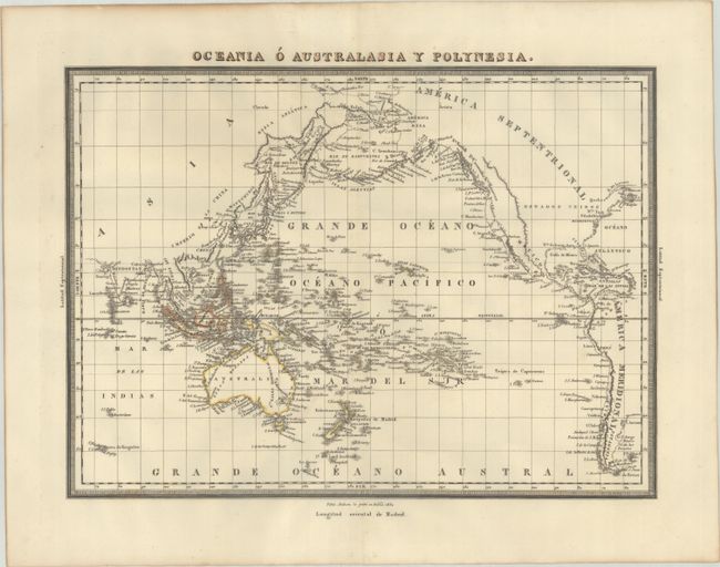
Subject: Pacific Ocean
Period: 1831 (dated)
Publication: Diccionario Geografico Universal
Color: Hand Color
Size:
16.6 x 12.2 inches
42.2 x 31 cm
Download High Resolution Image
(or just click on image to launch the Zoom viewer)
(or just click on image to launch the Zoom viewer)