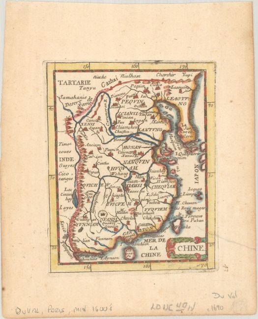
Subject: China & Korea
Period: 1688 (published)
Publication: Le Monde, out la Geogrpahie Universelle
Color: Hand Color
Size:
4 x 5 inches
10.2 x 12.7 cm
This miniature map of China, Korea, and Taiwan depicts major towns and key topographical features. The Great Wall is illustrated at top. This is the third state, with Korea revised as a peninsula. Pierre Duval was Nicolas Sanson's nephew and pupil. He published a wide range of atlases and individual maps, including a fine miniature world geography with many of the maps based on Sanson.
See also lot 734 for Geoffrey King's Miniature Antique Maps that describes this map.
References: Caboara #56.3; King (3rd ed.) #1660; Pastoureau, DUVAL XI G.
Condition: B+
On watermarked paper. An edge tear that enters 0.5" into map image at right has been closed with archival tape on verso.