Catalog Archive
Auction 206, Lot 563
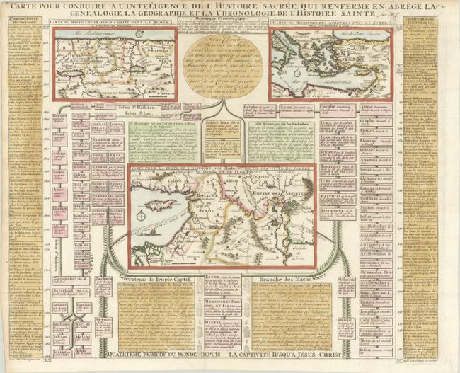
"Carte pour Conduire a l'Inteligence de l'Histoire Sacree, qui Renferme en Abrege … Quatrieme Periode du Monde…", Chatelain, Henry Abraham

Subject: Eastern Mediterranean & Middle East
Period: 1732 (published)
Publication: Atlas Historique, Tome VII
Color: Hand Color
Size:
18.8 x 15.5 inches
47.8 x 39.4 cm
Download High Resolution Image
(or just click on image to launch the Zoom viewer)
(or just click on image to launch the Zoom viewer)

