Catalog Archive
Auction 206, Lot 546
"Piemonte et Monferrato", Jansson, Jan
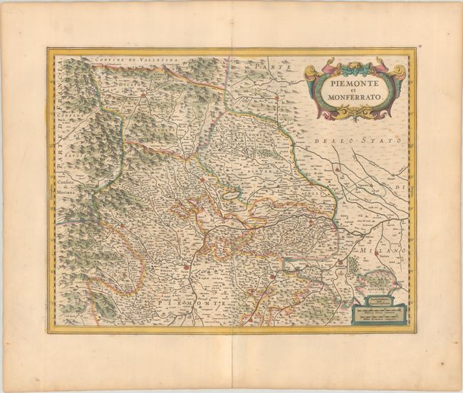
Subject: Northwestern Italy
Period: 1635 (circa)
Publication:
Color: Hand Color
Size:
19.3 x 14.9 inches
49 x 37.8 cm
Download High Resolution Image
(or just click on image to launch the Zoom viewer)
(or just click on image to launch the Zoom viewer)