Catalog Archive
Auction 206, Lot 542
"A New Map of Present Italy, Together with the Adjoyning Islands of Sicily, Sardinia, and Corsica, Shewing Their Principal Divisions, Cities, Towns, Rivers, Mountains &c...", Wells, Edward
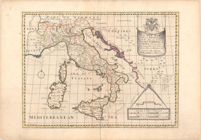
Subject: Italy
Period: 1700 (circa)
Publication: A New Sett of Maps both of Antient and Present Geography
Color: Hand Color
Size:
19.5 x 14.6 inches
49.5 x 37.1 cm
Download High Resolution Image
(or just click on image to launch the Zoom viewer)
(or just click on image to launch the Zoom viewer)